
Areo Browser
Link
- Website : areobrowser.com
What is it?
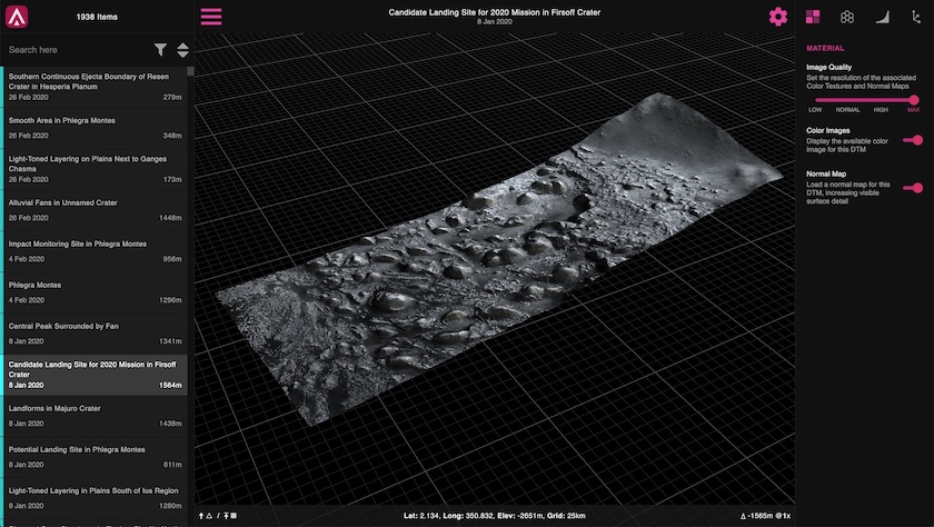
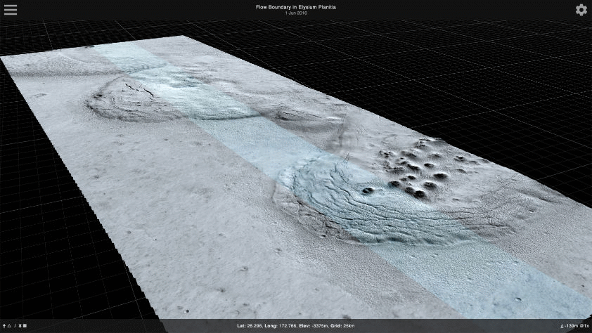
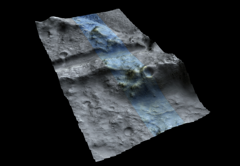
Areo Browser is a Svelte/ThreeJS web-app that allows you to explore over 2000 Martian terrain models, in full 3D, directly in your browser and on mobile. It currently uses data from both the HiRISE camera (on-board NASA’s Mars Reconnaissance Orbiter), and the HRSC (on-board ESA’s Mars Express).
With options for mesh and image resolution, vertical exaggeration, and displaying a custom Cividis gradient with contour mapping on the model, Areo Browser vastly increases the accessibility of the included data.
This new version of Areo Browser is able to process and view all types of Martian 3D data, so if you’d like to talk about having your data included, please just get in touch!
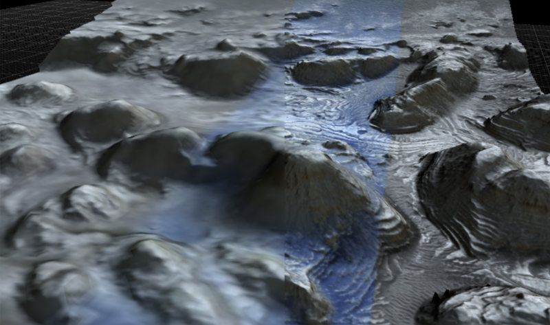
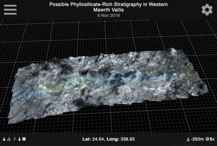
Each available model consists of two parts - the mesh, and the associated image data.
The mesh is generated on-the-fly in the browser, using Web Workers to convert a custom-encoded RGB image into the required height data. This custom image format is an order-of-magnitude smaller than the original source file, but maintains a high-level of accuracy, and allows different resolutions to be quickly generated as needed. It is created using an upcoming new version of my Mac-based conversion tool, Areo.
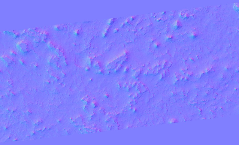
Two images are then applied to the model. The first is a colour image, created by combining all available RGB image data from the source files, and displayed at the desired resolution. The second is a normal map, which is a way of adding extra perceived detail to the model, without needing to increase the poly-count, again helping to ensure that the files can be viewed on older devices.
Features
Todo List
- Model downloads
- 3D-printable model generation and downloads
- Ability to save an image of the current view, with a transparent background
- Ability to share a link to the current model with the current camera angle
- Realistic lighting based upon location and a given time, using a full sun/sky model
- WASD navigation
- Basic fly-over/animation support
- Ability to search by a range of values (e.g. elevation in the range 100-200m)
- Apply for a DOI so the site can be easily referenced